SUBARTIC
It rains very little. The temperatures are very low come to them 45ºC and the high mas to them 15ºC.


MARINE WEST COAST
•Miad winters, mild summers.
•Low annual temperature range.
Heavy cloud cover; high humidity.


HUMID CONTINENTAL
The rainfalls are not variants. The temperatures are very low in the winter come to them-10ºC and in the summer they come to them 25ºC.


HUMID SUBTROPICAL
It rains duarnte all the year round, many mas in January and December. The temperatures are very high in the summer.


DESERT
It rains very little, almost at all. The temperatras are very high and in the very low nights.


TROPICAL DRY-WET
It rains during the summer, in August it rains 500 liters per square meter, in the months January, February, March, April and December it does not rain at all.
The temepraturas are high on the 20-25 ºC.


The temepraturas are high on the 20-25 ºC.


EQUATORIAL CLIMATE
It rains very much all the year round, in the months August and June it rains 90 liters per square meter. Discharges temepraturas all the year round, they go down in the winter months.


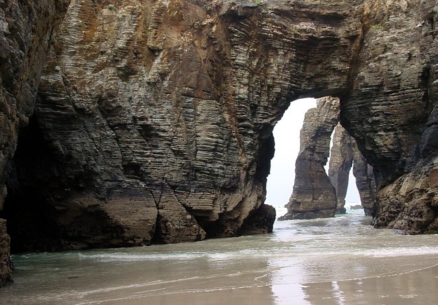
MiNhO RiVeR!!
miércoles, 25 de noviembre de 2009

Name: Minho
Location: Pedregal de Irima, Lugo.
Source: Ourense
Mouth: Atlantic Ocean
Flow facts: Is the longest river in Galicia, with an extension of 340 km. This one placed in the northwest of the Iberian peninsula. His principal tributary is the Sil river.
Climograph 3.
martes, 17 de noviembre de 2009

This climograma is for the Humid Subtropical. It rains very much all the year round and the temperatures only rise in the summer.
Climograph 2.

This climograma is of the Mediterranean one because it rains very little in July and August. In the summers there are high temperatures.
Climograph 1.

This climograma is of the climate of a desert. The temperature is very high and rains very little.
HURRICANE MITCH!!

Hurricane Mitch was the most powerful hurricane of the 1998 Atlantic hurricane season, with maximum sustained winds of 180 mph (285 km/h). The storm was the thirteenth tropical storm, ninth hurricane, and third major hurricane of the season. At the time, Hurricane Mitch was the strongest Atlantic hurricane observed in the month of October, though it has since been surpassed by Hurricane Wilma of the 2005 season. The hurricane matched the fourth most intense Atlantic hurricane on record (it has since dropped to seventh).
Mitch formed in the western Caribbean Sea on October 22, and after drifting through extremely favorable conditions, it rapidly strengthened to peak at Category 5 status, the highest possible rating on the Saffir-Simpson Hurricane Scale. After drifting southwestward and weakening, the hurricane hit Honduras as a minimal hurricane. It drifted through Central America, reformed in the Bay of Campeche, and ultimately struck Florida as a strong tropical storm.
Due to its slow motion from October 29 to November 3, Hurricane Mitch dropped historic amounts of rainfall in Honduras, Guatemala, and Nicaragua, with unofficial reports of up to 75 inches (1900 mm). Deaths due to catastrophic flooding made it the second deadliest Atlantic hurricane in history; nearly 11,000 people were killed with over 11,000 left missing by the end of 1998. 2.7 million were left homeless or missing in all. The flooding caused extreme damage, estimated at over $5 billion (1998 USD, $6.5 billion 2008 USD).

Furacán Katrina!!
O Furacán Katrina foi un gran furacán, unha tempestade tropical que alcanzou o nivel 5 da Escala de Furacáns Saffir-Simpson no verán de 2005.
Os ventos do furacán alcanzaron máis de 280 quilómetros por hora, e causaron grandes prexuízos na rexión litoral do sur dos Estados Unidos, especialmente arredor da rexión metropolitana de New Orleans, o 29 de agosto de 2005 onde máis dun millón de persoas foron evacuadas. O furacán xa pasou polo sur da Florida, causando en torno de 2.000 millóns de dólares en danos e causando 6 mortes directas.
O furacán Katrina causou aproximadamente 1000 mortes, ata o 31 de agosto de 2005, sendo un dos furacáns máis destructivos que ten chegado aos Estados Unidos. O furacán paralizou moita da extracción de petróleo e gas natural americano, pois unha boa parte do petróleo americano estraise do Golfo do México. Durante uns meses, cinco millóns de persoas estiveron sen electricidade na rexión da Costa do Golfo.
Duración:23-30 de agosto de 2005
Ventos máximos:280km/h ( durante 1 minuto)
Presión mínima:902hPa
Danos: $81.2 mil millones (2005 USD), $89.6 mil millones (2009 USD)
Falecementos: 1836 confirmados e 705 desaparecidos.
Áreas afectadas: Bahamas, Sur de Florida, Cuba,Luisiana, Misisipi, Alabama, noroeste de Florida, este de América del Norte.


Suscribirse a:
Entradas (Atom)